
Nestled in the heart of north London, Holloway has a rich and fascinating history that stretches back centuries. Today, this vibrant area in the London Borough of Islington blends historic charm with modern urban life.
The bustling Holloway Road serves as its main artery, lined with shops, and restaurants. It fizzles with the energy of a community that has continually reinvented itself through the ages.
From its humble beginnings as a rural hamlet to becoming home to the infamous Holloway Prison, this north London district has seen remarkable transformations over the centuries.
As Londoners who set up our storage business close by, we consider Holloway part of our home. HOLD is passionate about its history, people, and culture. That's why we wrote this article, so we could share Holloway's amazing history and keep telling London's story.
Table of Contents
- Origins and etymology of Holloway
- The geography of Holloway
- Lower Holloway
- Upper Holloway
- Victorian aspirations
- Notable landmarks and institutions
- Holloway Prison
- The Nag's Head
- Routes of connection
- Famous residents
- How Holloway has transformed
- New beginnings
Origins and etymology of Holloway
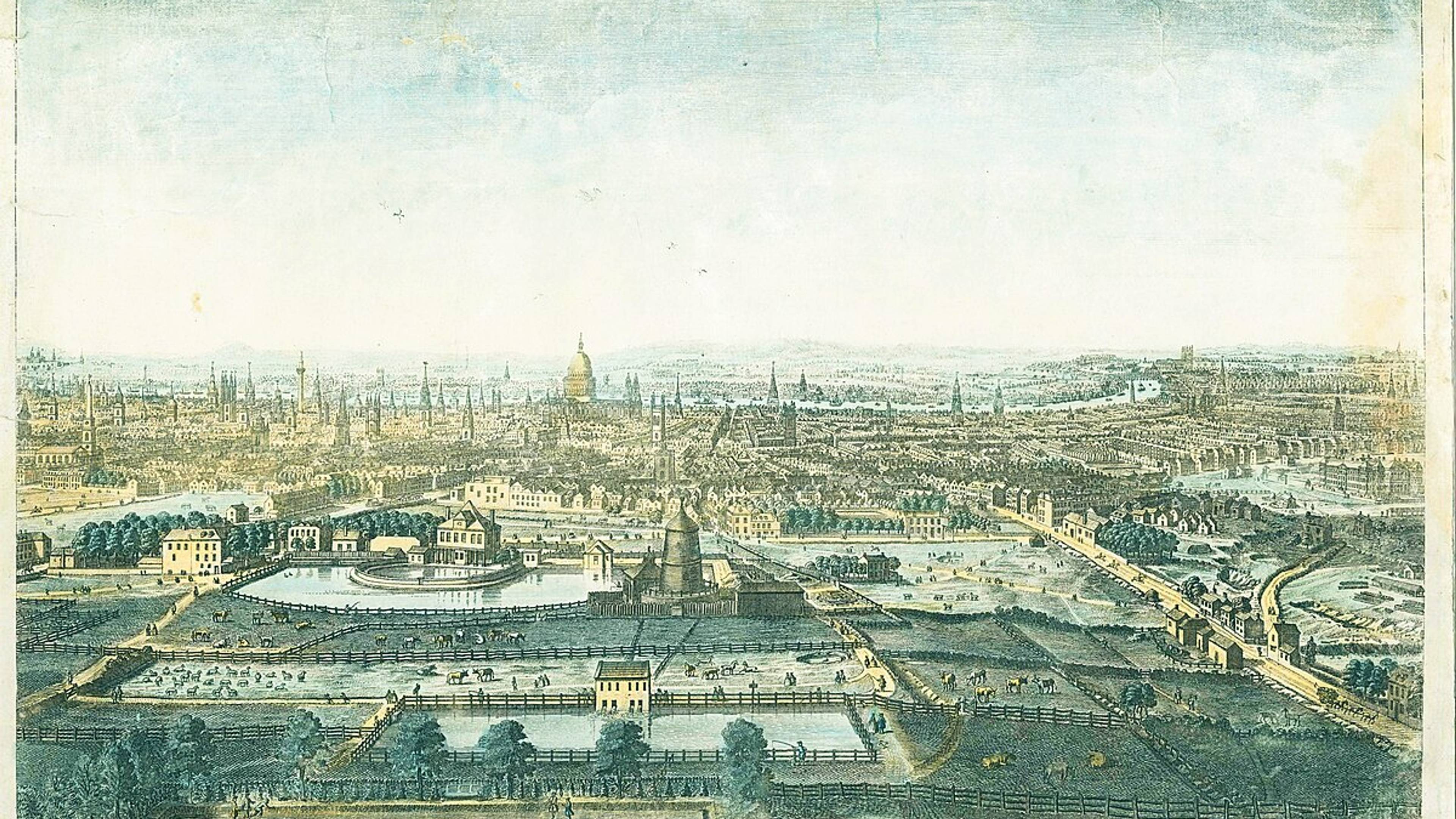
The name 'Holloway' tells us much about the area's geographical origins. It derives from 'Hollow way' or 'Hollow road', referring to a depression in the land caused by centuries of travellers and cattle making their way along what was part of the Great North Road – the ancient route from London to the north of England.
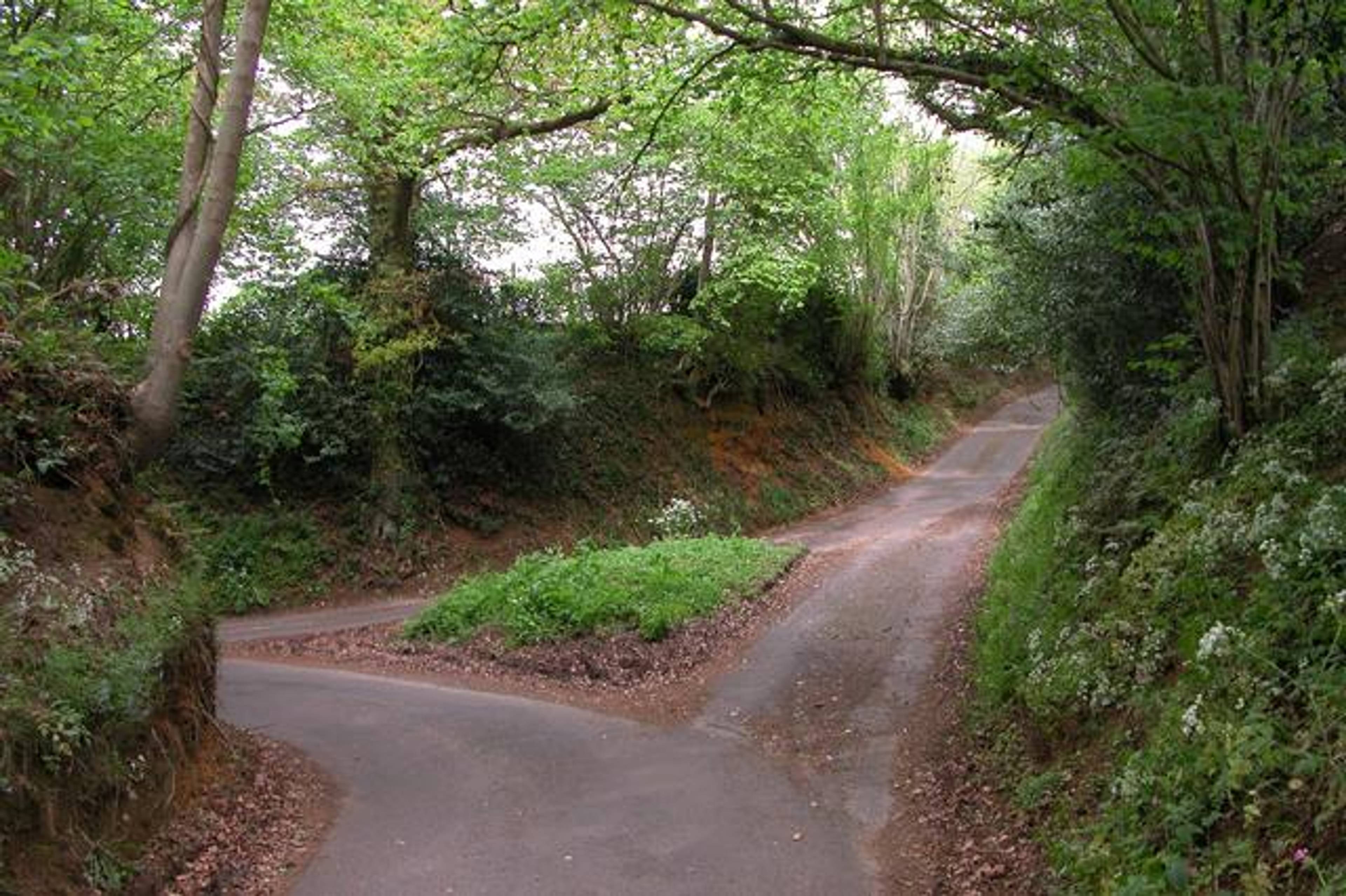
Example of a "sunken lane" or "hollow way"
By 1307, historical records show that the road through the northern part of Islington parish was already known as 'the Holloway', and settlements gradually formed along this important thoroughfare. This main stretch of road passed through the former villages of Tollington and Stroud, settlements recorded in the Domesday Book but whose names had fallen out of use by the late 17th century.
The original route from London went through Tollington Lane, but by the 14th century, the road was in such poor condition that the Bishop of London built a new road up Highgate Hill and began claiming tolls by 1318. What was once known as Maiden Lane (now largely aligned with York Way) formed another boundary to the east. This became part of the Great North Road, now the A1, which still passes through Holloway today.
The geography of Holloway

Holloway naturally divides into two distinct areas – Upper Holloway to the north and Lower Holloway to the south, with the commercial hub of Nag's Head sitting between them where Seven Sisters Road meets the Holloway Road.
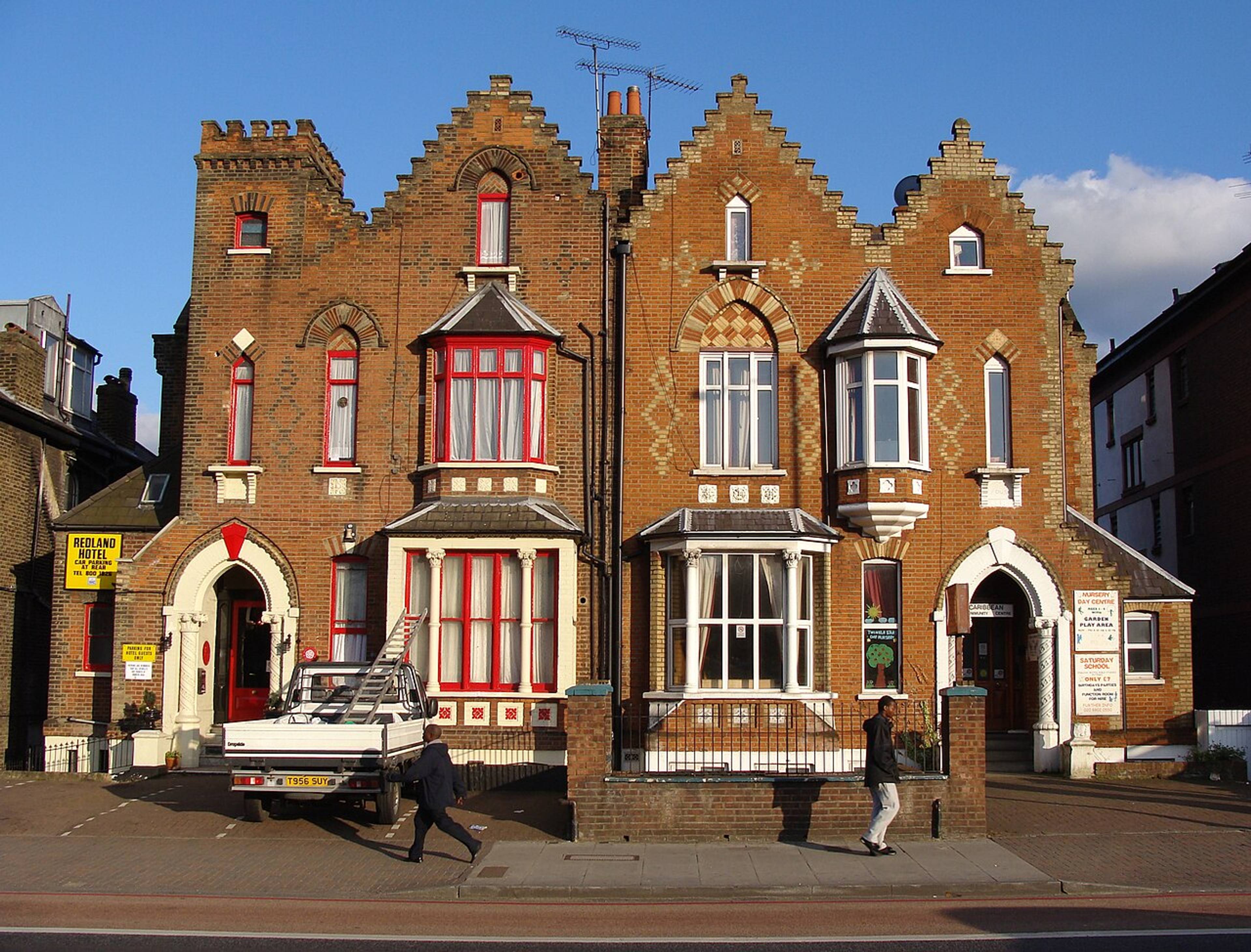
Upper Holloway occupies the higher ground as the land rises toward Highgate. This elevation provided more desirable living conditions in earlier centuries, away from the damp and pollution of lower-lying areas. The Church of St John, built in 1828, stands as one of Upper Holloway's notable landmarks, designed by the prominent architect Sir Charles Barry.
Lower Holloway stretches from the south of Holloway Road toward Caledonian Road. It sits wholly within the N7 postal district and has historically been more densely populated than its northern counterpart.
The junction where Camden Road meets Holloway Road marks another important geographical reference point, historically connecting the area to neighbouring Camden Town and highlighting Holloway's position as a crucial north London crossroads.
Lower Holloway
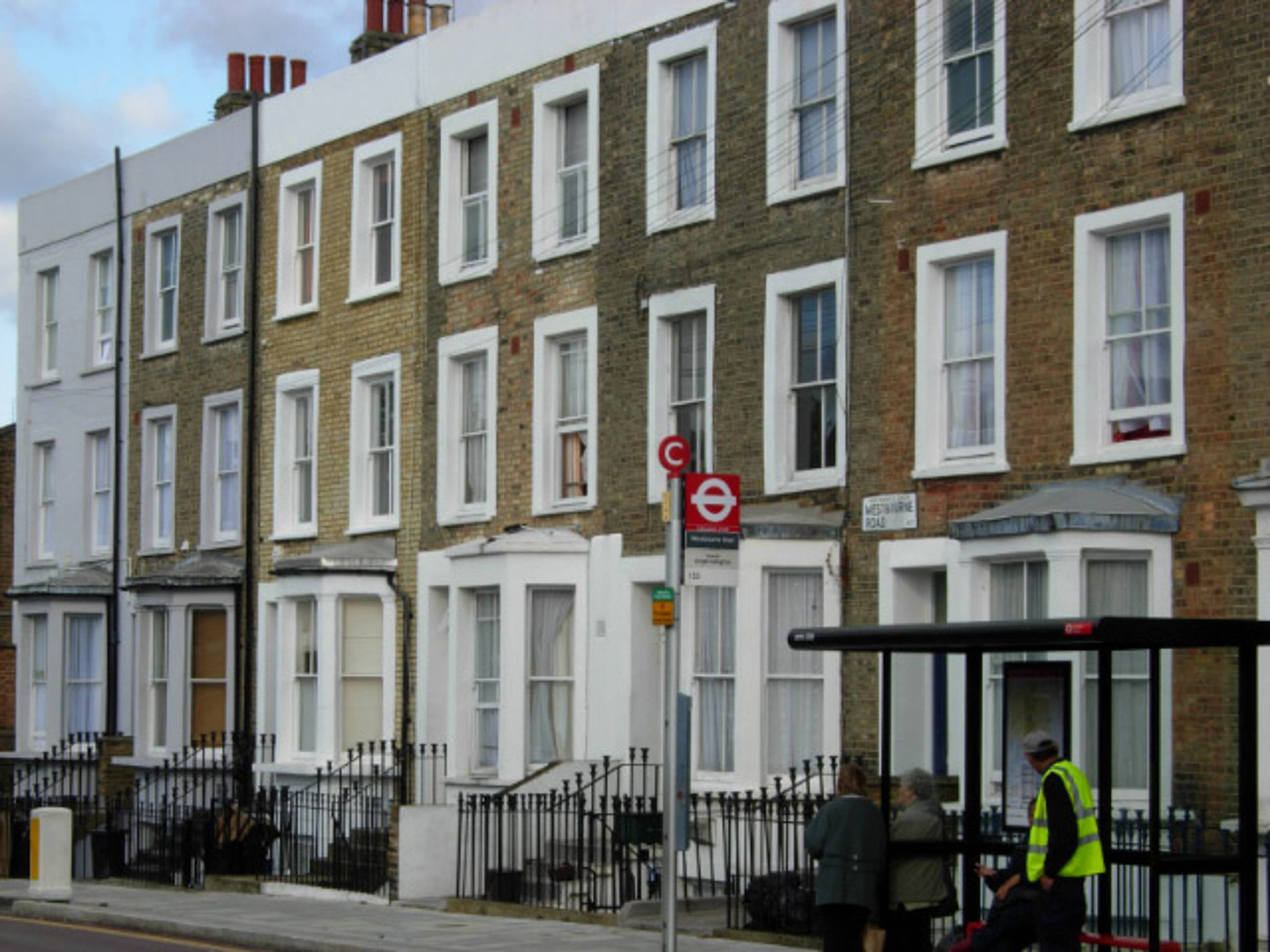
Lower Holloway developed as one of the first areas to urbanise as London expanded northward. Its proximity to the City made it an obvious choice for development, and by the early 19th century, what had been fields and market gardens began to fill with terraced housing.
Unlike some neighbouring districts that developed with a coherent architectural vision, Lower Holloway grew somewhat piecemeal, with different builders and developers working on separate plots. This resulted in a varied streetscape of Victorian and Edwardian terraces interrupted by later developments.
By the mid-19th century, Lower Holloway had become densely populated. Houses built for middle-class families were often subdivided to accommodate poorer tenants moved from areas undergoing redevelopment closer to the city.
Campbell Road, which stood near where the Arsenal stadium is now located, became notoriously known as "the worst street in north London" – an extreme example of the social decline that affected parts of Lower Holloway during this period.

The opening of the Metropolitan Cattle Market in 1855 on York Road brought new commercial activity to the area. The market served as an alternative to Smithfield Market, bringing livestock traders and associated businesses to Lower Holloway and cementing its working-class, commercial character.
Upper Holloway
Upper Holloway (situated on the rising ground toward Highgate Hill) developed later and somewhat more deliberately than its southern counterpart. The area's elevated position made it healthier and more desirable, particularly after transport improvements made commuting to central London more feasible.
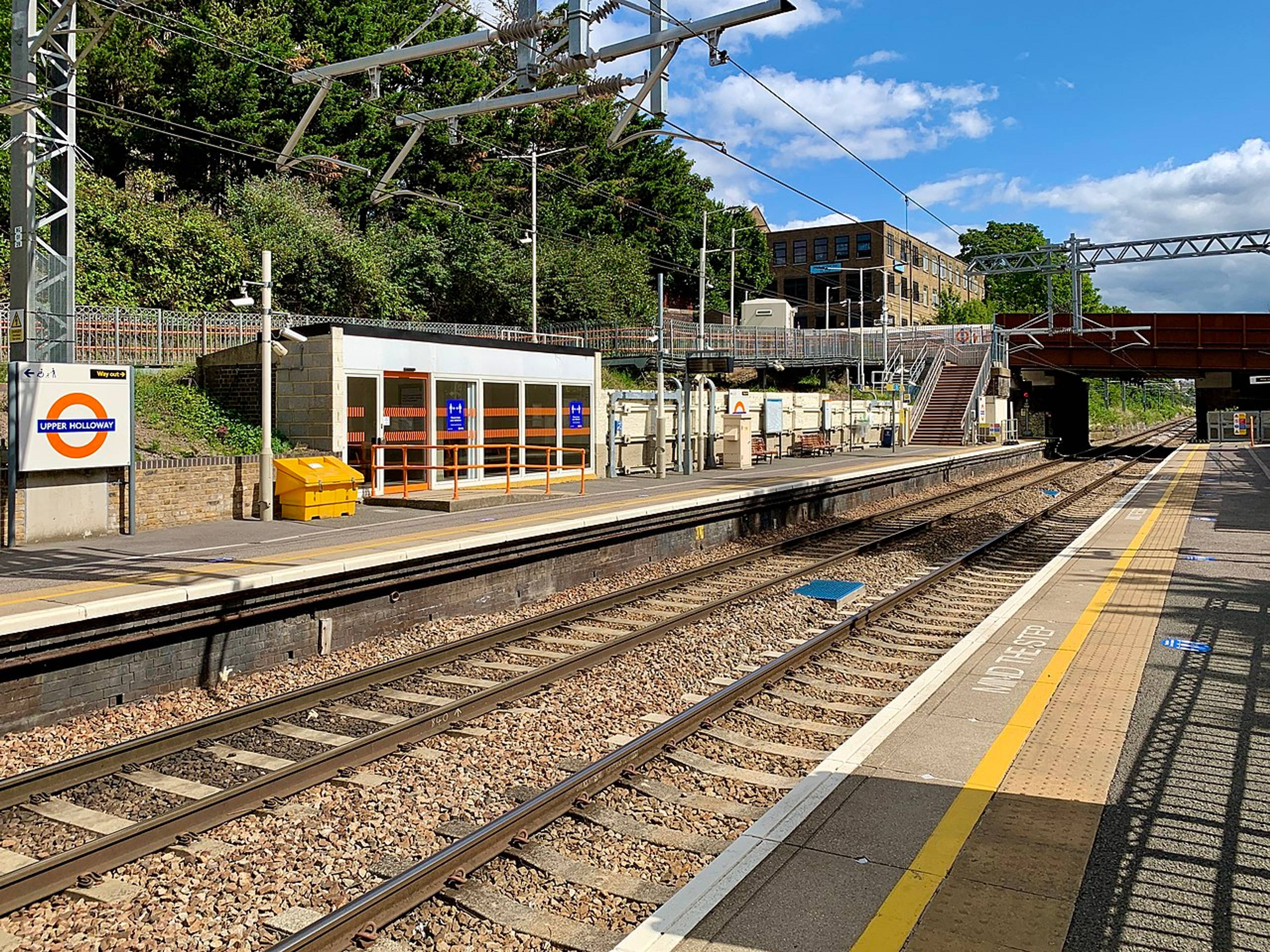
The arrival of the railway played a crucial role in Upper Holloway's development. The station that still bears its name opened in 1868, improving connections and encouraging new house building. Archway Road, cutting through the eastern side of Upper Holloway, takes its name from the impressive Highgate Archway, completed in 1813 to bypass the steep Highgate Hill.
To the east, Dartmouth Park Hill rises steeply toward Highgate, named after the Earl of Dartmouth who once owned land in the area.
Victorian aspirations
Housing in Upper Holloway reflected its middle-class aspirations, with substantial Victorian villas and well-built terraces. Many of these were designed as six-roomed houses intended for respectable families with perhaps one servant, and largely remained single-family dwellings until much later in the 20th century.
Particularly fine examples can still be seen along Tufnell Park Road, which remains one of the area's more prestigious addresses.
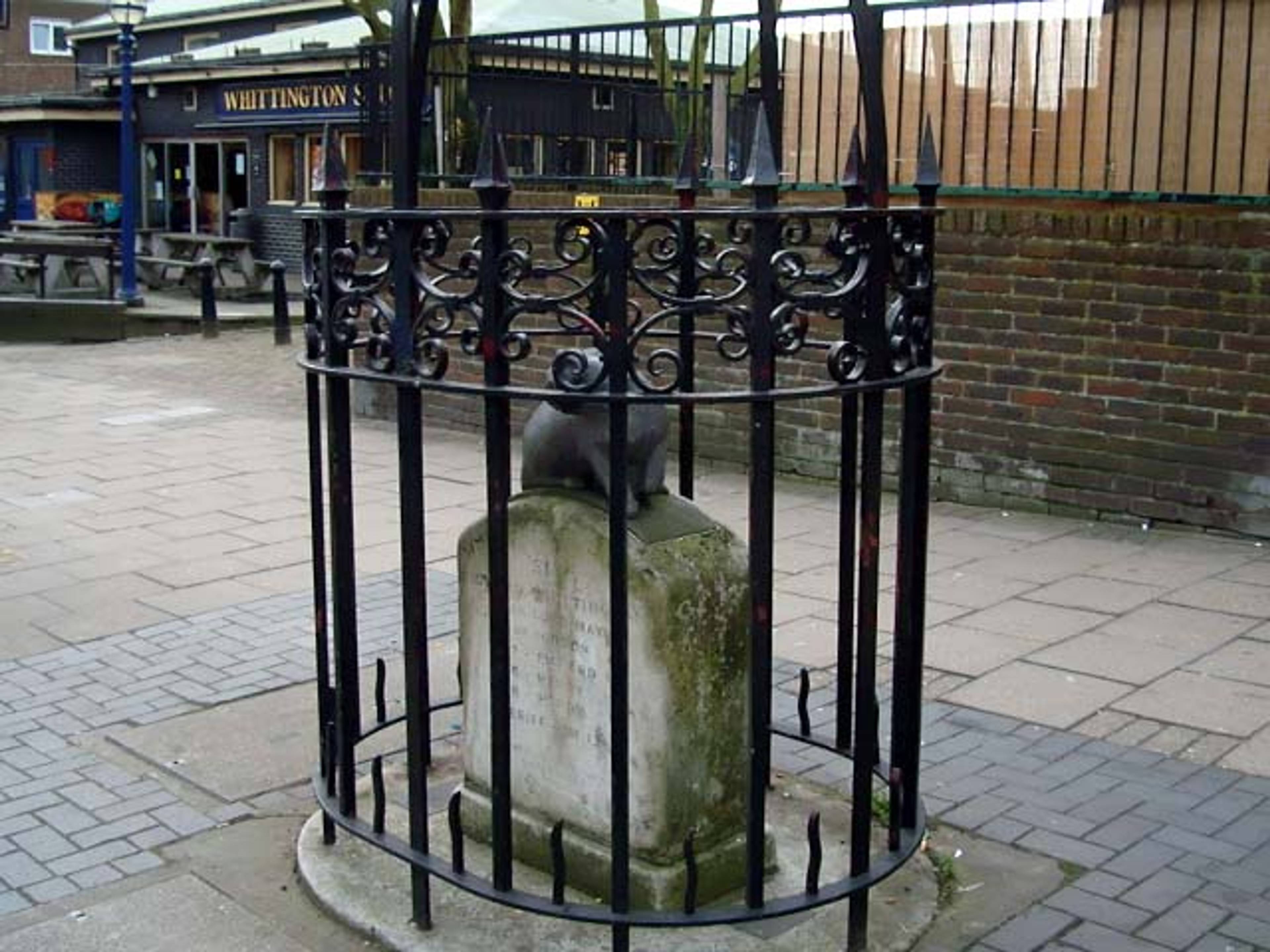
The legendary Whittington Stone at the foot of Highgate Hill marks one of Upper Holloway's most famous connections – to Dick Whittington, who supposedly heard the bells of London calling him back to the city.

Drawing by Chatelain in 1745 depicted where Whittington's Stone stood in 1745
While the current stone is a relatively recent replacement, the site has long been associated with the Whittington legend, adding a touch of folklore to Upper Holloway's history.
Notable landmarks and institutions
Holloway Prison
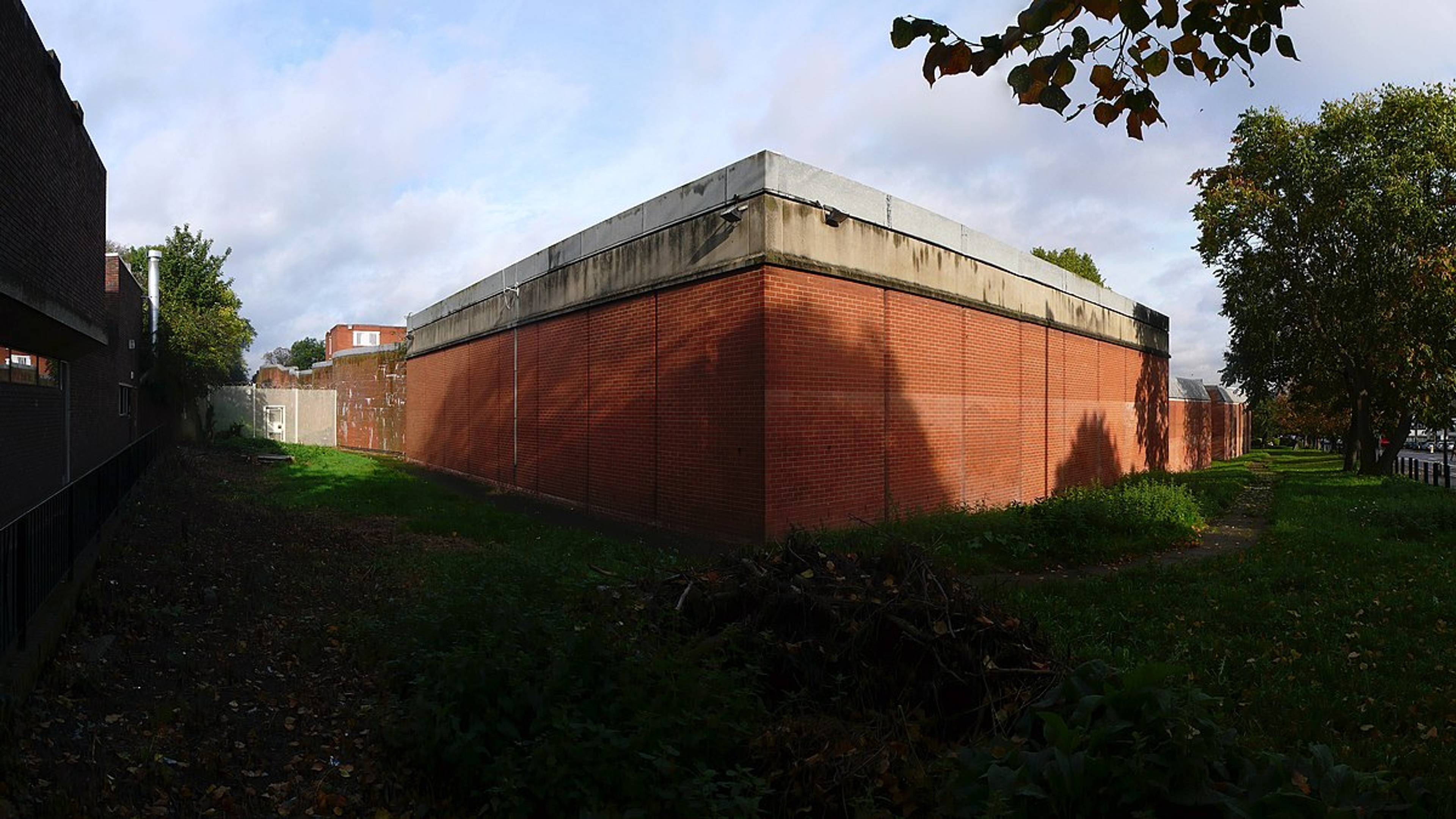
HM Holloway Prison stands as the area's most famous (or perhaps infamous) landmark. Opening in 1852 as a mixed-sex prison, it became a female-only prison in 1902 due to a growing demand for space for female prisoners.
Until its closure in 2016, HMP Holloway was the largest women's prison in western Europe, housing adult women from across the country.

The original Victorian building had an imposing castle-like appearance, complete with turrets and crenellations that made it a formidable presence on Parkhurst Road. In the 1970s and 80s, this Gothic structure was replaced with a more modern facility, though no less institutional in character.
Throughout its history, the prison reflected changing attitudes towards female offenders and their rehabilitation, becoming a symbol of women's incarceration in Britain.
Holloway Prison housed many notable inmates throughout its history, including suffragettes like Emmeline Pankhurst, the writer Oscar Wilde (briefly, when it was still a mixed-sex facility), and Ruth Ellis, the last woman to be executed in Britain.
The Nag's Head
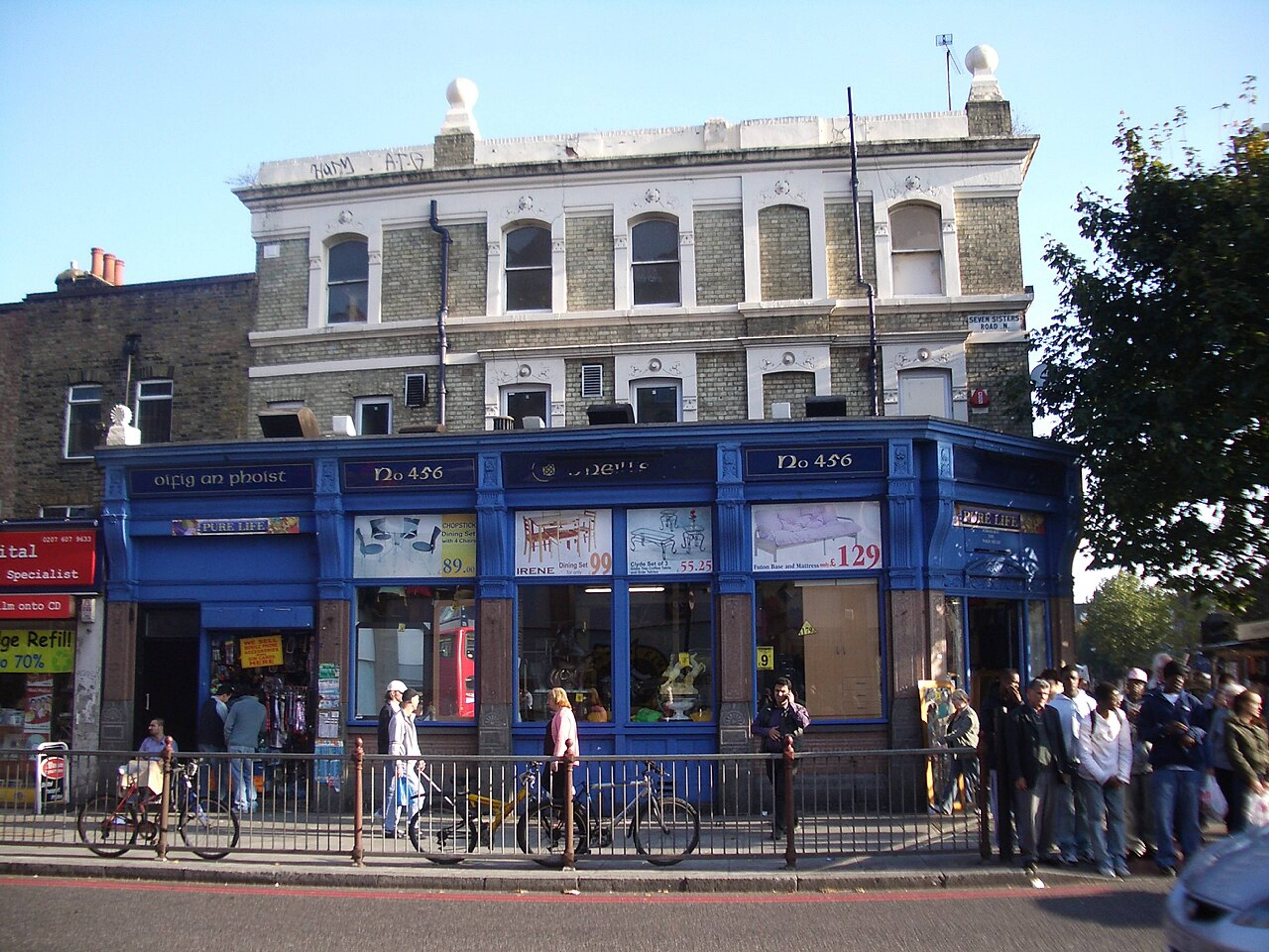
Sitting at the junction where Seven Sisters Road meets Holloway Road, The Nag's Head area forms the bustling heart of Holloway, sitting at the junction where Seven Sisters Road meets Holloway Road. Originally named after a pub that stood on the site, it has been a commercial centre for generations of locals.
By the mid-20th century, it had developed into a major shopping district with its own department store, Jones Brothers (later part of the John Lewis Partnership), which traded here until the 1990s.
Today, the area is home to a diverse mix of independent shops, market stalls, and high street chains. The Nag's Head market continues to operate, offering everything from fresh produce to household goods, and reflecting the area's diverse community.
This bustling crossroads has long served as the natural dividing point between Upper and Lower Holloway, and despite competition from shopping centres and online retail, the Nag's Head remains a vibrant hub where the character of Holloway is perhaps most clearly on display – a place where old and new London seamlessly blend together.
Routes of connection
Vicrotian houses on Seven Sisters Road
The Seven Sisters Road was named after seven elm trees originally located in Tottenham. It cuts through north Holloway toward Finsbury Park. Opened in the 1830s, it became an important east-west route and helped define the development of northern Holloway.
Ring Cross, the junction where Holloway Road meets Hornsey Road and Seven Sisters Road, has long been a significant local landmark. Now dominated by the aforementioned Nag's Head, this crossroads has been a focal point of community life for centuries.
Famous residents
Perhaps most surprising is Holloway's connection to the great poet John Milton. In the early 18th century, Mary and Catherine Milton, nieces of the poet, lived in Holloway. Elizabeth Foster, a descendant of Milton's daughter Deborah, kept a "petty grocer's or chandler's shop" in Holloway.

18th centruy painting depicting Claude Duval
The infamous highwayman Claude Duval made Holloway one of his favoured haunts in the 17th century. Another notorious highwayman, Dick Turpin, is recorded as having robbed several people in coaches near Holloway in 1737, adding to the area's somewhat lawless historical reputation.
Several creative individuals have called Holloway home. Edward Lear, the celebrated author of nonsense verse, was born and raised in Holloway. The pioneering record producer and songwriter, Joe Meek, also lived and worked at 304 Holloway Road.
More recently, musician John Lydon (Johnny Rotten) grew up on Benwell Road, and author Douglas Adams wrote "The Hitchhiker's Guide to the Galaxy" while living at 19 Kingsdown Road.
How Holloway has transformed
Holloway's journey from rural outpost to urban district reflects London's expansion but has followed its own distinctive path. Development began in earnest during the second half of the 18th century and accelerated dramatically in the Victorian era.
The arrival of public transport transformed Holloway. Horse-drawn buses first connected the area to the City, followed by trams running along Holloway Road. When the railways arrived, development intensified. Suddenly, city workers could live in the healthier outer suburbs while commuting to work.
The Victorian era saw rapid construction across Holloway, though development finished slowly in some areas. Large houses were built along Holloway Road and the smarter eastern parts of the district, while more modest terraces filled in the western sides. Many streets remained unpaved well into the 19th century, particularly in the less affluent areas.
The Second World War brought significant change to Holloway's landscape. Bomb damage during the Blitz created gaps in the Victorian streetscape, later filled with post-war housing developments. Local authorities took a more active role in housing after the war, with council estates replacing some of the worst housing.
New beginnings
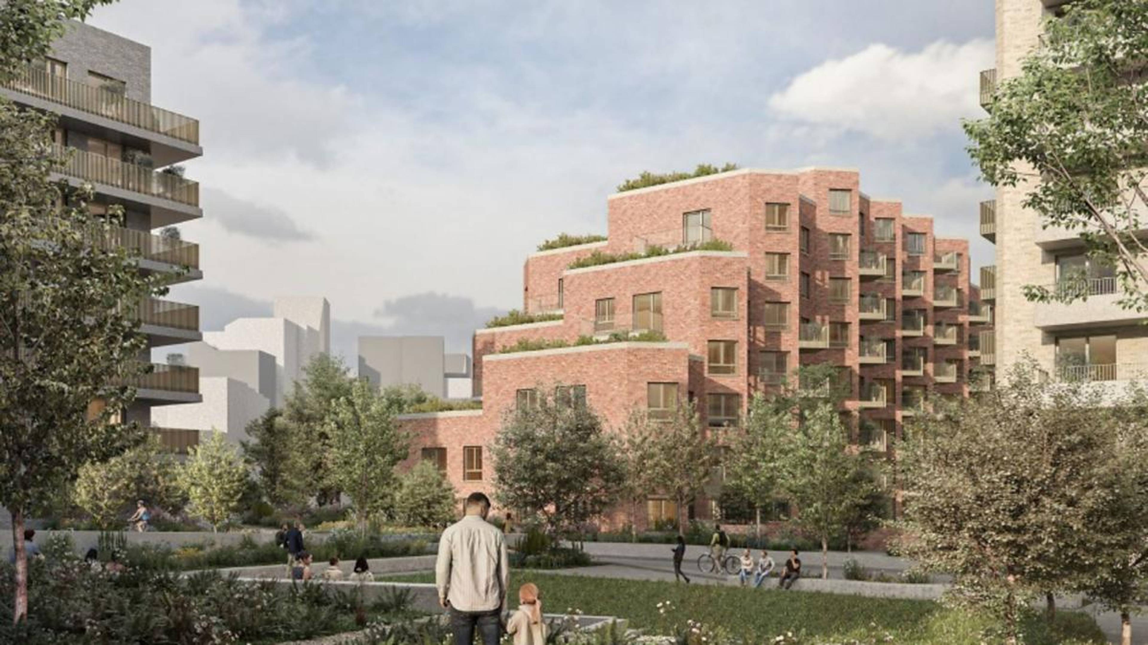
Image depicting redevelopment plans for Holloway Prison sourced from the Islington Gazette
The closure of Holloway Prison in 2016 marked the end of an era for the area but opened new possibilities. The Holloway Prison site is now undergoing redevelopment, with plans for new housing including affordable homes, community spaces, and a women's building to commemorate the site's significant history.
Today's Holloway reflects this layered history – Victorian terraces stand alongside mid-century estates and contemporary developments. The bustling Nag's Head shopping area and the vibrant communities around Seven Sisters Road and Hornsey Road demonstrate the area's continued vitality and evolution.
Final thoughts
Holloway's story is one of constant reinvention and adaptation. From hollow way to major thoroughfare, from rural hamlet to prison site, from working-class enclave to increasingly diverse neighbourhood, Holloway continues to evolve while maintaining connections to its multifaceted past.
As London's housing pressures increase, Holloway's relatively central location and good transport links make it increasingly desirable. New developments on former industrial sites and initiatives like the Holloway Prison redevelopment are bringing fresh energy to the area.
Need self storage? HOLD is here to help
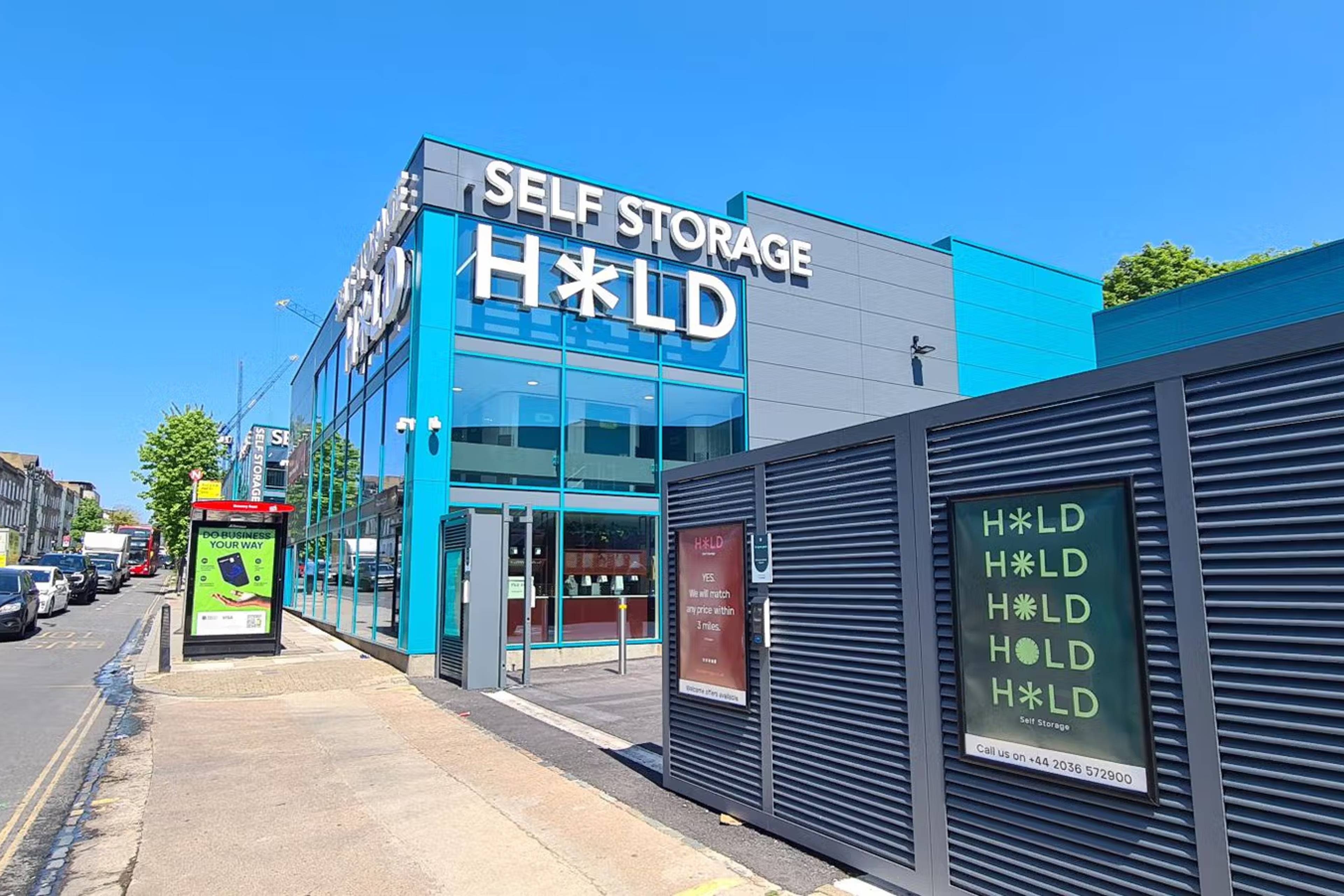
HOLD is proud to be part of this historic community. We offer tailored storage solutions to local residents and businesses, helping them write their own chapters in Holloway's ongoing story.
Our storage facility is just around the corner from Holloway, offering flexible, affordable storage solutions. We offer secure, 24/7 access units ideal for students, businesses, and residents looking for extra space.
Whether you're moving to this fascinating area, renovating one of its historic homes, or simply need extra space, we're here to help you become part of Holloway's rich and ever-evolving narrative.
Find out why today and get get 50% off for the first 8 weeks and a price match within 3 miles.
Get a free quote today.
Frequently Asked Questions
What is Holloway famous for?
It's known for its Holloway prison site, Holloway Road, and Emirates Stadium (home to Arsenal Football Club). It was also once famous for its cheese cakes in the 18th century, particularly around Upper Holloway.
What is Holloway Road famous for?
Holloway Road is a key transport route and shopping street in North London. It follows the line of the ancient Great North Road and has been an important thoroughfare since medieval times. Today it's known for its diverse shops, restaurants, and as home to London Metropolitan University.
What is the ethnicity of Holloway Road?
Holloway Road has a diverse population, reflecting London's multicultural character. According to historical census data, the Holloway ward in 2011 was recorded as approximately 42% white British, 21% from other white backgrounds, 7% mixed race, 14% Black, and 11% Asian.
When was Holloway built?
The area developed from rural farmland into an urban district primarily during the 19th century. Until the 18th century, Holloway remained largely rural, with fields and occasional dwellings lining the main road. Rapid urbanisation took place in the Victorian era (1837-1901), when much of the current housing stock was built.
How do I get to HOLD Self Storage from Holloway?
From Holloway, head south on Holloway Road toward Camden Road. Turn right onto Camden Road, then left onto York Way. Our facility is about a mile down on your left at 260-276 York Way.
We're easily accessible by car (with free parking), bus (routes 390, 29, or 253), tube (from Caledonian Road or King's Cross stations), or it's a pleasant 20-minute walk.